Asperatus Clouds: Intriguing, Spectacular And Ominous-Looking Cloud Formation That Gives Dramatic Visual Effects
There is a new, very spectacular cloud formation, which remains relatively unstudied. and is not yet entirely explained.
Many sky watchers reported to seeing this unusual atmospheric structure in several places around the world. Asperatus clouds have been spotted mainly over the Great Plains in the United States, and other parts of the world, in France, Norway, Estonia, Scotland, England.
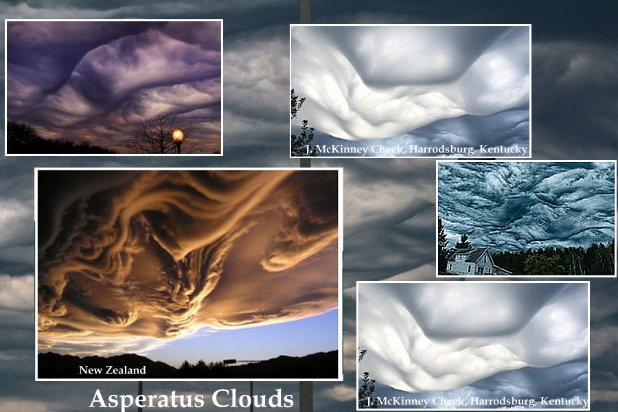
The name of this intriguing cloud is inspired by the Latin word ‘aspero’, meaning to make rough. This term was used by Roman poets to describe the sea as it was roughened by the cold north wind.
The clouds look like turbulent and soft undulating wave motions. Their appearance gives an impression of the surface of the ocean, only looking at it from below.
Cloud experts say that plenty of heat in the atmosphere is needed to produce enough energy for formations of asperatus clouds. Accompanying factor is also interaction between very moist air and very dry air.
Some experts believe that these clouds form when ice crystals in the clouds sink, but are too large to evaporate in the air below them.
Due to the very large amount of water vapor, asperatus clouds appear very dark and ominous but they are not any meteorological doom. However, their formation gives dramatic visual effects.
The ominous-looking asperatus clouds are related to thunderstorm activity and have been usually observed during the morning or midday hours ahead of a thunderstorm or line of storms.
However, they are not necessarily accompanied by stormy weather and can form without the development of thunderstorms.
It was quite a long time ago – more exactly in 1951 – a new type of cloud was officially recognised by the UN’s World Meteorological Organization.
Now, asperitas cloud is finally being accepted as an official classification by the World Meteorological Organisation.

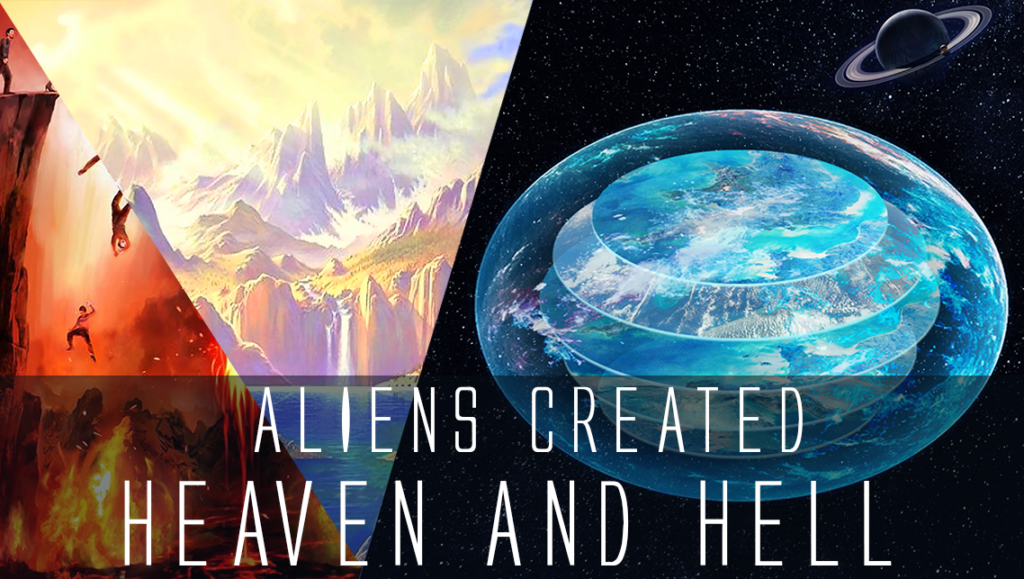
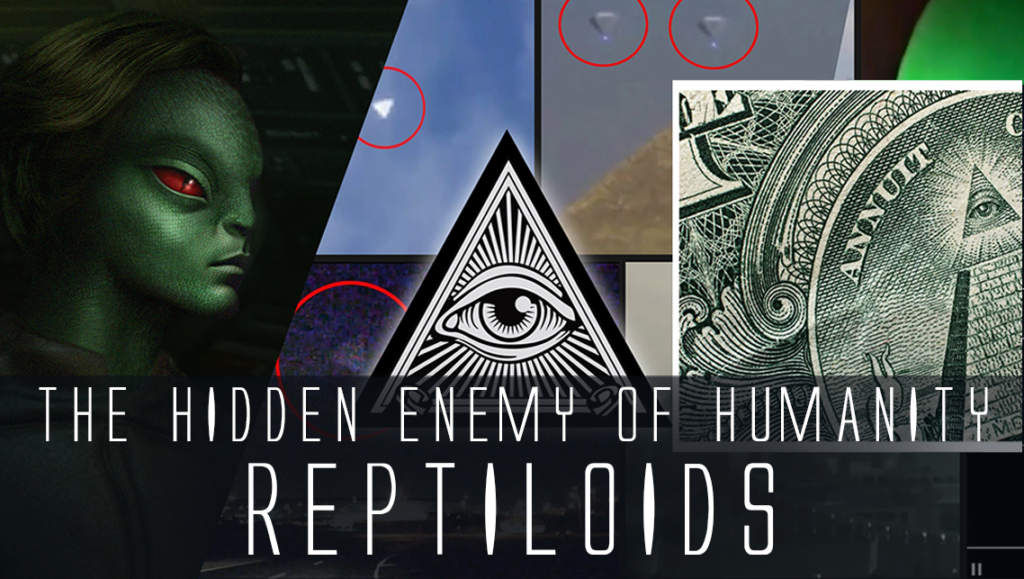
 Creators of mankind
 Description of “Tall white aliens”
 Where they came from?
 About hostile civilizations
 The war for the Earth
 “Tall white aliens” about eternal life
 Video: “Nordic aliens”
 Aliens
 Alien encounters
 The aliens base
 UFO
UFO Technology UFO
 Underground civilization
 Ancient alien artifacts
 Military and UFO
 Mysteries and hypotheses
 Scientific facts