High-flying NASA mission sets new GPS world record
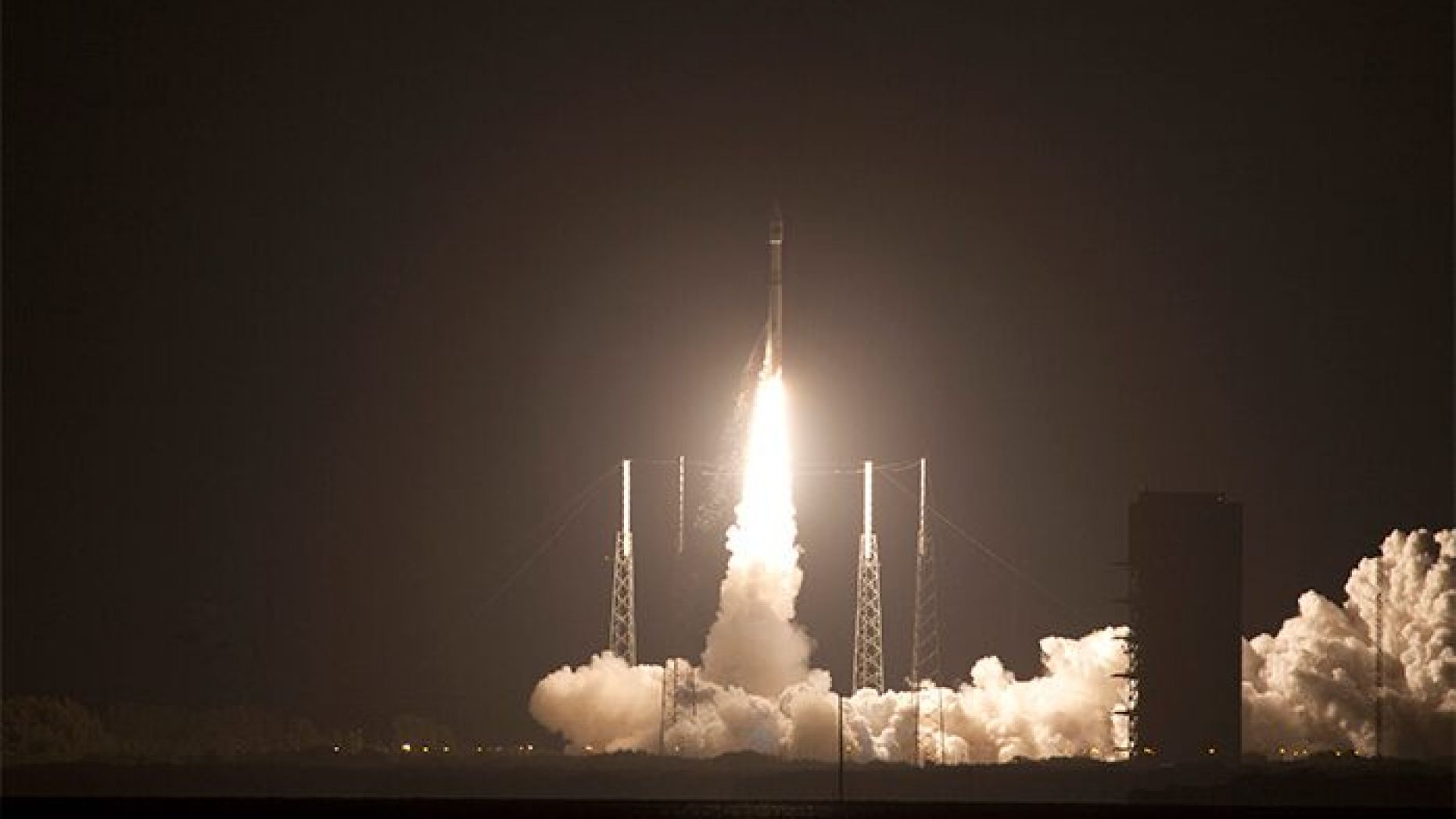
A NASA mission’s GPS prowess is now part of the record books: The Magnetospheric Multiscale (MMS) mission just broke a Guinness World Record for highest altitude fix of a GPS signal.
The four MMS satellites set the new space record by using GPS navigation at an altitude of 43,500 miles above Earth’s surface. The satellites use GPS, which is a navigation system that pinpoints locations by checking in with devoted satellites in orbit, to stay in a tight flying formation as they survey Earth’s magnetic field.
This isn’t the only time that MMS broke a record. Previously, it managed the closest flying formation between several spacecraft, with only 4.5 miles separating the four satellites.
MMS are also the fastest-traveling craft to use a GPS receiver, reaching 22,000 mph when the mission is at its closest point to Earth along its orbit.
The primary mission of MMS is to help scientists understand Earth’s magnetosphere, which is the region surrounding our planet where Earth’s magnetic field is dominant (as opposed to the magnetic field of space itself).
“The mission uses four individual satellites that fly in a pyramid formation to map magnetic reconnection — a process that occurs as the sun and Earth’s magnetic fields interact,” officials from NASA’s Goddard Space Flight Center said in a statement. “Precise GPS tracking allows the satellites to maintain a tight formation and obtain high resolution three-dimensional observations.”
Studying magnetic connection helps scientists understand phenomena ranging from flares on the sun’s surface to auroras in Earth’s atmosphere, NASA added.
The satellites will go to a higher orbit to look at a different region of the magnetosphere in spring, beginning Phase 2 of the mission. During that stage, the satellites are expected to at least double the GPS record they set, officials said.


 Creators of mankind
 Description of “Tall white aliens”
 Where they came from?
 About hostile civilizations
 The war for the Earth
 “Tall white aliens” about eternal life
 Video: “Nordic aliens”
 Aliens
 Alien encounters
 The aliens base
 UFO
UFO Technology UFO
 Underground civilization
 Ancient alien artifacts
 Military and UFO
 Mysteries and hypotheses
 Scientific facts