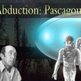
COVER UP? Google Earth blind spot over experimental military base may be where US government hides crashed UFOs, defence insider claims
THE Google Earth blind spot over an experimental military base in Nevada may have been used to cover up a “super secret location” where the US government kept crashed UFOs, a defence insider has claimed.
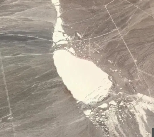
Google Earth did not update its images of the dry lake beds of the Tonopah Test Range – just a few miles from the infamous Area 51 – for eight years – and has not explained why.
Now former MoD man Nick Pope – also known as the real-life Fox Mulder – has branded the situation “murky” and suggested it could have been part of a “gentleman’s agreement” between Google and the US government.
While other military ranges have been consistently mapped, the Tonopah Test Range was not photographed between 2008 and 2016.
This is the longest any part of the continental US has not been updated, according to a Motherboard report.
Usually updates happen every 60 days, according to a Google Earth blog.
Since the early 1950s, the range has reportedly been used for government aerospace and weapons testing.
Pope, who used to run the MoD’s UFO project, told Sun Online: “This is all quite murky. Either as a consequence of federal law, or through a ‘gentleman’s agreement’, Google and/or the third party providers from whom they obtain satellite imagery have ensured that the public won’t see up-to-date images of the Tonopah Test Range.
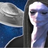
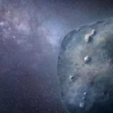
“Because of its proximity to the infamous Area 51, this has understandably started all sorts of conspiracy theories in the UFO community.
“Could this super-secret location be where the US government hides crashed UFOs? Or is it where the next generation of stealth aircraft, drones and hypersonic weapons are developed and tested?
“Either way the US government is hugely concerned – and understandably so.
“Along with drones flown by hobbyists, the easy availability of high-quality satellite imagery has caused immense problems for the military and the intelligence community.
“It’s given people a window on a world that was previously closed to them.
“Simply put, these technologies make it more difficult for the government to hide things.”
Pope, who now lives in the US, did warn that there could be a good reason to keep the area hidden – to stop enemies such as ISIS learning crucial information that could be used against America.
He said: “Having worked in the MoD for 21 years I well understand the need for secrecy, and indeed my final posting was to the Directorate of Defence Security.
“While I understand that people are naturally curious about what’s going on at Tonopah, the problem with people’s ‘right to know’ is that once information is in the public domain, it’s seen by everyone: not just UFO researchers and aviation enthusiasts, but the Russians, the Chinese, the Iranians, the North Koreans, ISIS and all sorts of other non-state actors who may not have the best of intentions.”
As part of their investigation into the mysterious Google Earth gap, Motherboard purchased an image of the site from 2013 for £1,500 from Apollo Mapping, which they planned to sell for $1 on Google in a bid to find out whether the US government was censoring the area.
But the website was turned down after learning they had only legally “leased” the image, and could not resell it.
When asked why the “Tonopah gap” existed in their records, Google did not respond to Motherboard.
A Google spokesperson told Sun Online: “Google Earth didn’t censor this area in Nevada.
“Our satellite imagery is licensed from third party providers which are commercially available and are not the property of Google.
“We update imagery by prioritizing areas that are most popular with users while complying with local and federal laws.”
Google Earth has since updated the image of the area to reflect its appearance in October 2017.
The newest images, which were available on Thursday, appear to have been updated to 2018.
Other images were added from 2014 and 2015, but the gap still remains for 6 years.
The Motherboard investigation teams ends with a question addressed straight to Google:
“Do you have a tacit agreement with the US government to keep this area off of Google Maps? Do you merely think that Don’t Be Evil means Only Spy on Civilians? Please tell us, Google, we’d love to know.”

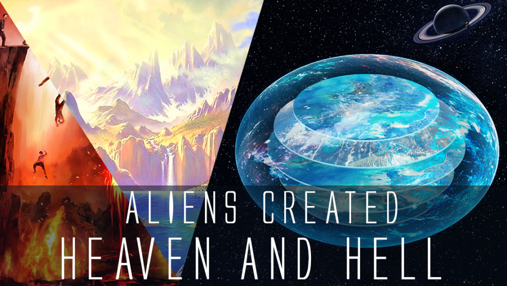
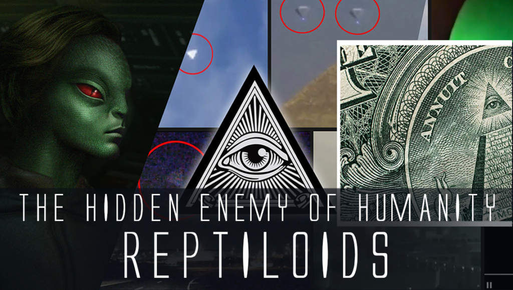
 Creators of mankind
 Description of “Tall white aliens”
 Where they came from?
 About hostile civilizations
 The war for the Earth
 “Tall white aliens” about eternal life
 Video: “Nordic aliens”
 Aliens
 Alien encounters
 The aliens base
 UFO
UFO Technology UFO
 Underground civilization
 Ancient alien artifacts
 Military and UFO
 Mysteries and hypotheses
 Scientific facts