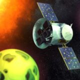
This flying fire sensor could help track wildfires from a satellite in space
As wildfires currently devastate western North America, a new airborne project team hopes to develop a space solution to stop conflagrations before they get out of control.
The project could one day help future firefighters acquire “fire behavior” maps within 20 minutes of an outbreak, using satellite data combined with machine learning (a kind of artificial intelligence), according to a statement from the University of California, Berkeley.
The project, funded by a $1.5 million grant, will fund “spotter planes” with infrared detectors — heat-seeking sensors to examine flame length and geometry to learn more about how fires spread. Meanwhile, machine learning algorithms — provided they are trained well on other “hot spot” datasets — could spot new fires in the region within milliseconds, to send alerts.
Related: Wildfires are turning the sun and moon red
Click here for more Space.com videos…
CLOSE
If all goes well in airborne testing, the detector team — which includes UC Berkeley’s Space Sciences Laboratory and Nevada-based fire assessment company Fireball Information Technologies — hopes to send similar sensors to space within four years to make monitoring and discovery a 24/7 activity.
That said, the UC Berkeley statement didn’t provide details on which satellite or satellites the team is considering for its instrument, and how (besides the sensor testing) they will get ready for the potential 2025 launch date — a relatively quick timeline.
The researchers noted the airborne testing will be key to space success, however. “The airplane system can measure signal strengths and backgrounds and test data flows and analysis software. Thus, when we launch the satellite in a few years, we will be flying a well-tested and proven system,” Carl Pennypacker, a UC Berkeley physicist, said in the statement.
A typical wildfire burns for more than 20 minutes before it’s reported, allowing the flames to easily spiral out of control, the team said in the statement. Worse, global warming causes the intensity and size of such fires to increase due to drought, higher temperatures and diminished humidity. More acres thus burn every year even though the number of fires decreased due to better firefighter training and techniques.
The researchers argue that more adaptive solutions are needed, quickly. Fireball attempts to address this need using planes, helicopters and drones, but the larger U.S. Forest Service can only fly its detectors once every 24 hours at night when fires show up more easily in its infrared sensors.
“We plan to build a system that really delivers a better, more detailed spatial characterization of fires to firefighters in real time,” Tim Ball, a former firefighter and Fireball’s founder and president, said in the same statement. Benefits will include improving firefighter safety and making it easier to make strategic decisions, he added.
The new grant from the Gordon and Betty Moore Foundation will allow the team to test out the sensors in the air, ahead of its desire to put an instrument aboard a geosynchronous satellite pointing at the western United States or other fire-prone international regions.
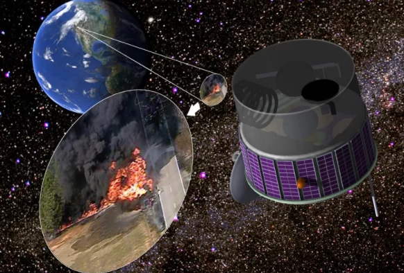
A geosynchronous satellite with two cameras — or a mirror to switch views — could observe nearly the entire Western United States and continuously search for wildfires.
A geosynchronous satellite with two cameras — or a mirror to switch views — could observe nearly the entire Western United States and continuously search for wildfires. (Image credit: Carl Pennypacker)
Since such satellites rotate at the same rate as the Earth below, they would provide constant monitoring of a region. From space, the detectors may be able to spot fires as small as two semi-trailers together — providing that they perform as expected in airborne tests.
Pennypacker once hoped he could dedicate an entire satellite to watching for fires, called the Fire Urgency Estimator in Geosynchronous Orbit (FUEGO). While that project hasn’t worked out yet — the statement only said Pennypacker “lowered his sights a bit” — he’s instead been delving into airborne surveillance and analysis software.
Pennypacker also brings in experience working with the ALERTWildfire group at UC San Diego, which has near-infrared cameras throughout California watching for fire. The cameras have panning and tilting capabilities and can also confirm wildfires between one and five minutes after ignition, the team said.
“That is what is different about what we are doing,” said Ball, who also works with ALERTWildfire. “We can measure tiny spot fires and huge flame fronts, then deliver maps depicting flame size, intensity and rates of spread to firefighters on the ground just minutes later.”

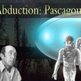
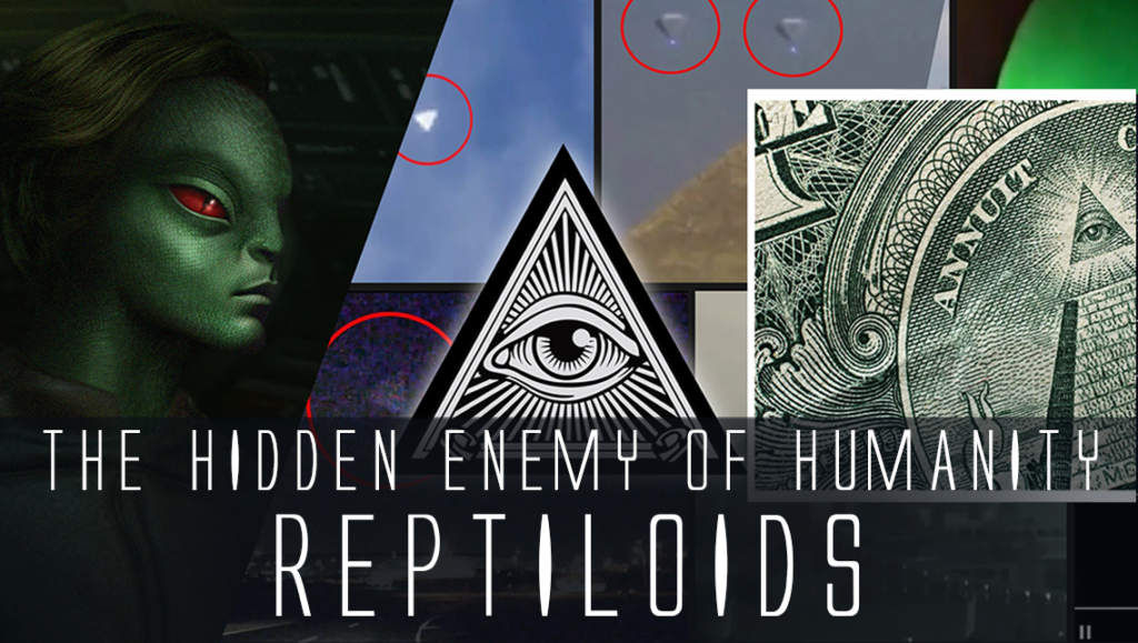
 Creators of mankind
 Description of “Tall white aliens”
 Where they came from?
 About hostile civilizations
 The war for the Earth
 “Tall white aliens” about eternal life
 Video: “Nordic aliens”
 Aliens
 Alien encounters
 The aliens base
 UFO
UFO Technology UFO
 Underground civilization
 Ancient alien artifacts
 Military and UFO
 Mysteries and hypotheses
 Scientific facts