Wildfires in Canada triggered by heatwave seen from space
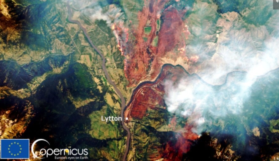
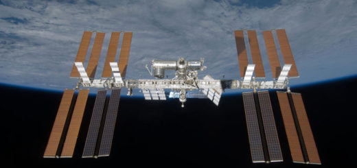
Friday, July 2, 2021: Massive wildfires in western Canada triggered by a record-breaking heatwave have been captured by the European Sentinel-2 satellite on Thursday (July 1). Sentinel-2 orbits Earth at the altitude of 490 miles (786 kilometers) but the wildfires were so massive that they could be seen even by satellites in the geostationary orbit 22,000 miles (36,000 kilometers) away from Earth, according to NOAA.
The fire in this image, near the town of Lytton in British Columbia some 125 miles (200 kilometers) northwest of Vancouver, broke out in the last days of June when temperatures were hitting record-breaking 120 degrees Fahrenheit (49 degrees Celsius). The blaze forced residents to leave their homes, many of which were later destroyed by the fire.
The massive plumes of smoke generated by the wildfires fuelled the formation of enormous thunderstorms, which at some point covered an area the size of England and reached 58,000 feet (17.5 kilometers) into the sky, Oxford University Research Fellow Simon Proud said on Twitter.
“Massive storms, sadly, have the potential to start more fires,” Proud said.
An earlier image acquired by Sentinel-3 on June 27 showed that surface temperatures near Lytton reached 145 degrees F (63 degrees C) in the days before the fire broke out. — Tereza Pultarova
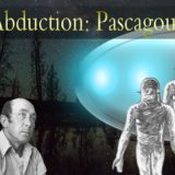
 Creators of mankind
 Description of “Tall white aliens”
 Where they came from?
 About hostile civilizations
 The war for the Earth
 “Tall white aliens” about eternal life
 Video: “Nordic aliens”
 Aliens
 Alien encounters
 The aliens base
 UFO
UFO Technology UFO
 Underground civilization
 Ancient alien artifacts
 Military and UFO
 Mysteries and hypotheses
 Scientific facts